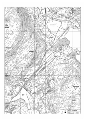


ENUL - Vaksinen
Located in Ulven, Norway
ICAO - ENUL, IATA -
Data provided by AirmateGeneral information
Coordinates: N60°11'29" E5°25'14"
Elevation is 180 feet MSL.
Magnetic variation is 1.5° East View others Airports in Hordaland
Operational data
Special qualification required
Current time UTC:
Current local time:
Communications frequencies: [VIEW]
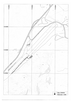
Runways:
| RWY identifier | QFU | Length (ft) | Width (ft) | Surface | LDA (ft) |
| 05 | 0° | 1903 | 82 | Grass | |
| 23 | 0° | 1903 | 82 | Grass |
Airport contact information
Address: Ulven Norway