


KBVO - Bartlesville Muni
Located in Bartlesville, United States
ICAO - BVO, IATA - BVO
Data provided by AirmateGeneral information
Coordinates: N36°45'48" W96°0'40"
Elevation is 716 feet MSL.
Magnetic variation is 03° East View others Airports in Oklahoma
Operational data
Special qualification required
Current time UTC:
Current local time:
Communications frequencies: [VIEW]
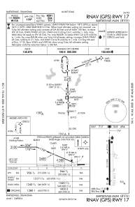
Runways:
| RWY identifier | QFU | Length (ft) | Width (ft) | Surface | LDA (ft) |
| 17 | 179° | 6850 | 100 | CONC | 6201 |
| 35 | 359° | 6850 | 100 | CONC | 6201 |
Airport contact information
Address: Bartlesville United States