
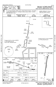


KHFY - Indy South Greenwood
Located in Indianapolis, United States
ICAO - HFY, IATA -
Data provided by AirmateGeneral information
Coordinates: N39°37'39" W86°5'17"
Elevation is 822 feet MSL.
Magnetic variation is -02° East View others Airports in Indiana
Operational data
Special qualification required
Current time UTC:
Current local time:
Communications frequencies: [VIEW]
Runways:
| RWY identifier | QFU | Length (ft) | Width (ft) | Surface | LDA (ft) |
| 01 | 8° | 5102 | 75 | ASPH | |
| 19 | 188° | 5102 | 75 | ASPH |
Airport contact information
Address: Indianapolis United States
