
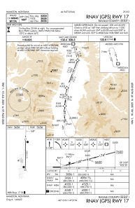


KHRF - Ravalli County
Located in Hamilton, United States
ICAO - HRF, IATA -
Data provided by AirmateGeneral information
Coordinates: N46°15'26" W114°7'26"
Elevation is 3635 feet MSL.
Magnetic variation is 13° East View others Airports in Montana
Operational data
Special qualification required
Current time UTC:
Current local time:
Communications frequencies: [VIEW]
Runways:
| RWY identifier | QFU | Length (ft) | Width (ft) | Surface | LDA (ft) |
| 17 | 181° | 5200 | 75 | ASPH | |
| 35 | 1° | 5200 | 75 | ASPH |
Airport contact information
Address: Hamilton United States