logo
Search for airport 
image banner adimage banner adimage banner ad
image banner ad

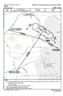
SBNV - Aeródromo Nacional De Aviação

Located in Goiânia, Brazil

ICAO - SBNV, IATA -

Data provided by Airmate  

General information

Coordinates: S16°37'32" W49°20'58"
Elevation is 2703 feet MSL.
Magnetic variation is -21.533333333° East
View others Airports in Goiás

Operational data

Special qualification required
Current time UTC:
Current local time:
Weather at : SBGO - Santa Genovena ( 14 km )
METAR: SBGO 061400Z 10009KT CAVOK 27/11 Q1022
TAF: TAF SBGO 060800Z 0612/0712 12005KT CAVOK TX31/0618Z TN18/0709Z BECMG 0612/0614 08005KT BECMG 0615/0617 06006KT BECMG 0618/0620 18002KT BECMG 0621/0623 16006KT BECMG 0700/0702 07002KT BECMG 0703/0705 12004KT BECMG 0709/0711 10004KT RMK PHG
View NOTAMs / SUP AIP / TFR affecting this airport [VIEW]
Communications frequencies: [VIEW]

Runways:

RWY identifierQFULength (ft)Width (ft)SurfaceLDA (ft)
144560197ASPH
324560197ASPH

Airport contact information

Address: Goiânia Brazil

Fuel provider

Goiás Aviation

Goiás Aviation
556235936337

Other aviation service providers

Flight schools

Aeroclube de Goiás

Aeroclube de Goiás

Satellite view of SBNV