


UKIC - Chernihiv
Located in Tchernihiv, Ukraine
ICAO - , IATA -
Data provided by AirmateGeneral information
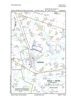
Coordinates: N51°32'57" E31°18'38"
Elevation is 469 feet MSL.
Magnetic variation is 7° East View others Airports in Chernihiv
Operational data
Special qualification required
Current time UTC:
Current local time:
Communications frequencies: [VIEW]
Runways:
| RWY identifier | QFU | Length (ft) | Width (ft) | Surface | LDA (ft) |
| 10 | 106° | 3281 | 82 | CONC | |
| 28 | 286° | 3281 | 82 | CONC |
Airport contact information
Address: Tchernihiv Ukraine