


WAJS - Keerom / Senggeh
Located in Keerom, Indonesia
ICAO - WAJS, IATA - SEH
Data provided by AirmateGeneral information
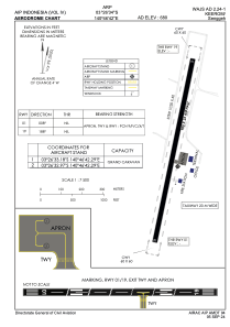
Coordinates: S3°26'34" E140°46'42"
Elevation is 680 feet MSL.
View others Airports in Papua
Operational data
Special qualification required
Current time UTC:
Current local time:
Communications frequencies: [VIEW]
Runways:
| RWY identifier | QFU | Length (ft) | Width (ft) | Surface | LDA (ft) |
| 01 | 11° | 2953 | 75 | UNK | |
| 19 | 191° | 2953 | 75 | UNK |
Airport contact information
Address: Keerom Indonesia