
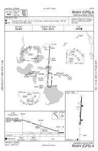


X23 - Umatilla Muni
Located in Umatilla, United States
ICAO - X23, IATA -
Data provided by AirmateGeneral information
Coordinates: N28°55'29" W81°39'6"
Elevation is 106 feet MSL.
Magnetic variation is -06° East View others Airports in Florida
Operational data
Special qualification required
Current time UTC:
Current local time:
Communications frequencies: [VIEW]
Runways:
| RWY identifier | QFU | Length (ft) | Width (ft) | Surface | LDA (ft) |
| 01 | 3° | 2876 | 60 | ASPH | |
| 19 | 183° | 2876 | 60 | ASPH |
Airport contact information
Address: Umatilla United States
